Reliable forest inventory data is critical for operational and financial decisions. However, in many plantation inventories, insights remain delayed, fragmented, or difficult to compare over time.
Inventory data requires extensive manual consolidation
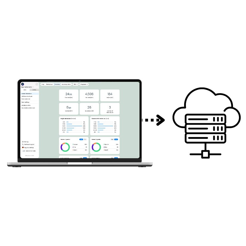
Field data and GIS analysis are not fully connected
Inventory results are often delivered as static reports
Long-term data comparability across inventory cycles is limited
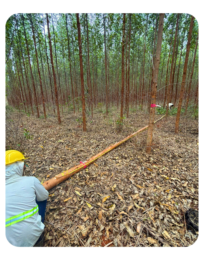
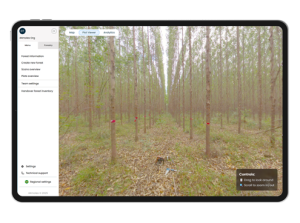
Take a minute and see how forest data is captured in the field using LiDAR.
Who is DFI Plantation for?
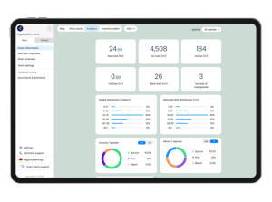
DFI Plantation by 44moles enables professional inventory companies and forest managers in Brazil to work with accurate consistent and comparable forest data.
DFI Plantation
For Inventory Companies
Benefits:
Capture up to 30 trees in a 2 Minutes Scanningtim (DBH, Height and multiple Diameters).
High-precision inventory data with consistent quality.
Reliable stand-level insights for planning and reporting.
Less manual work through automated processing.
Standardized digital workflows across projects.
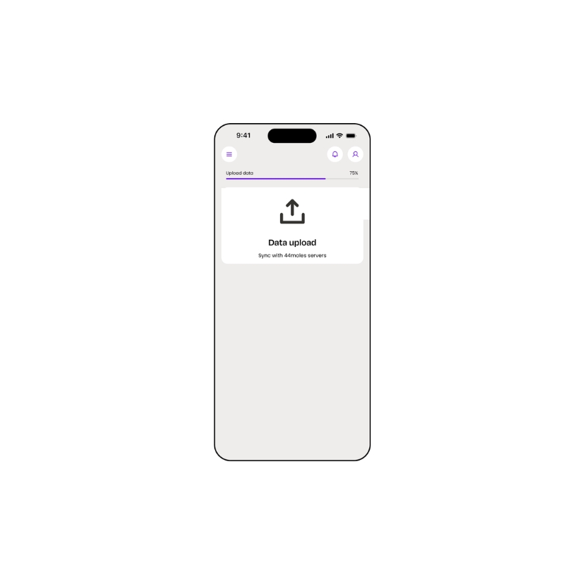
Seamless data delivery to clients and landowners.
Core Functions:
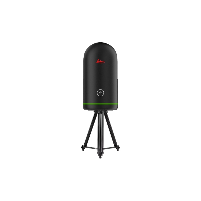
Terrestrial laser scanner for plot measurements.
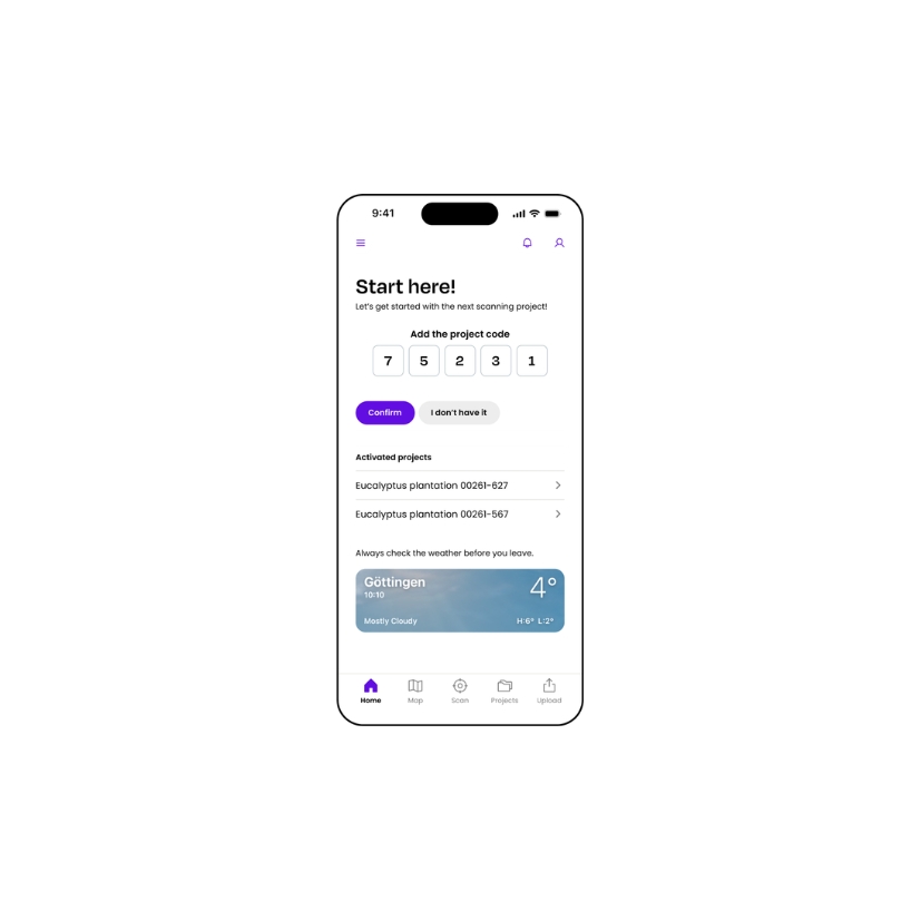
Mobile app for plot creation and fieldwork.
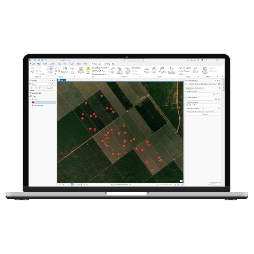
GPS navigation and automated plot generation.
Automated tree metrics: DBH, height, volume + more.
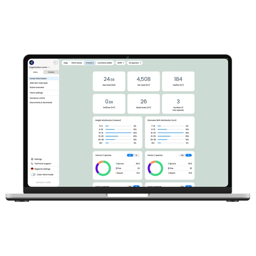
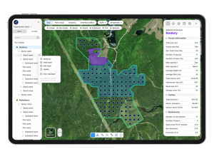
Stand metrics: basal area, canopy, deadwood + more.
GIS dashboard with map layers and shapefile tools.